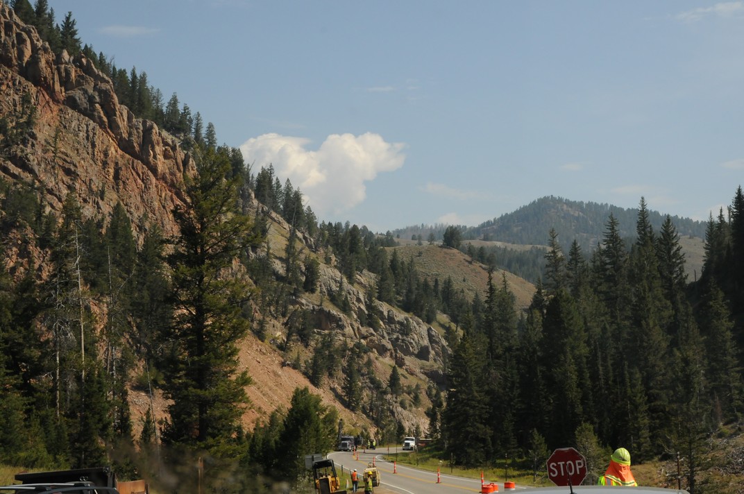
The road south from the Tetons took us back through Jackson and the hills and valleys further south. Almost immediately we found several sets of roadworks where the road is down to a single lane. It seems common to have people controlling the traffic with those ‘lollipop’ signs. Not too bad on this journey though, and the road was pretty clear.
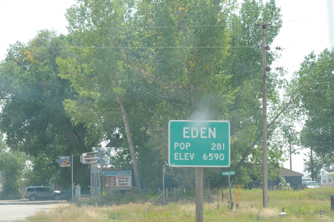
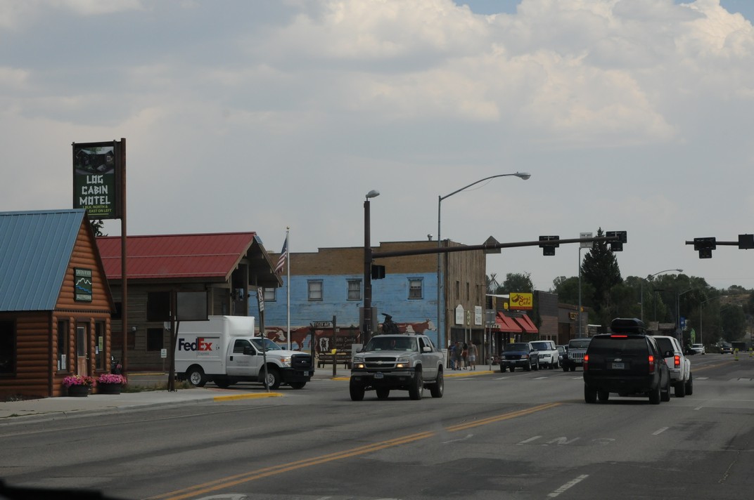
We passed through a number of small towns on the way. The advantage of taking the smaller highways rather than the interstate is that you get to see these small towns. Often with populations of just a few hundred, but we did see one with a quoted population of four. There were town signs giving the population as you drove in.
Around Wyoming it seems that a lot of people favour huge 4wd pick-ups. Maybe they need them in the winter, when it often gets down to -20 or -30.
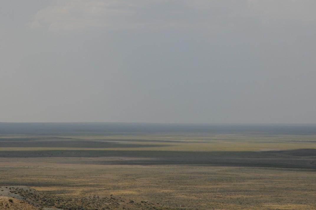
In places there are huge flat plains that seem to stretch on forever on both sides of the road
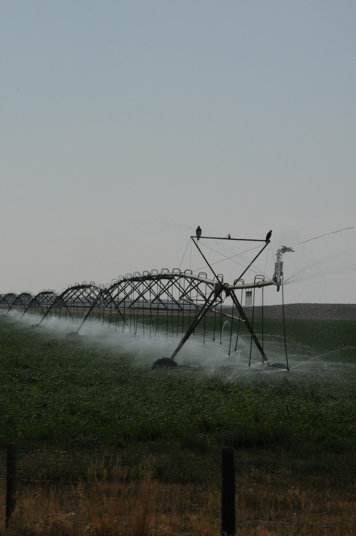
In several places we saw huge watering equipment slowly crossing the fields – some of these might be a quarter of a mile long
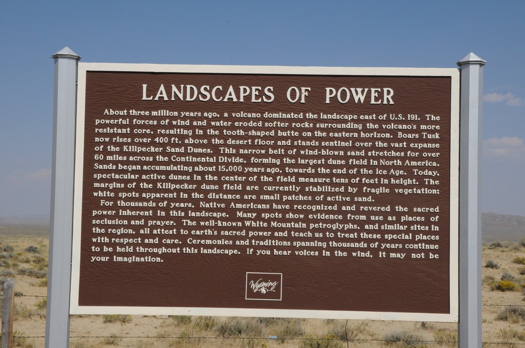
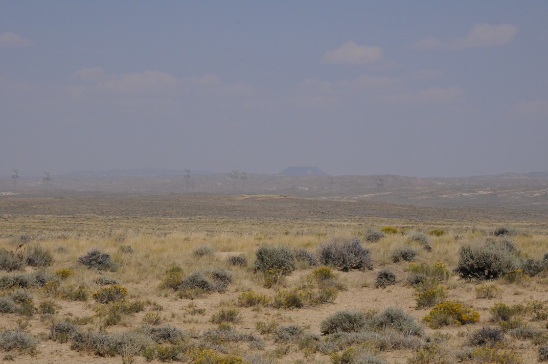
We stopped in several places just for a break. One of the lessons of the whole trip is that there are frequent ‘historical points of interest’ alongside the road with explanatory boards, and it would have been good to have more time to stop and read more of them. There are lots of these about the Oregon trail in northern Wyoming for example. This stopping place is next to the Killpecker dunes which are the largest set of sand-dunes in North America, and in the distance you can see the ‘Boars Tusk’ mountain which is another volcano core where the rest of the volcano has been eroded away, like the Devil’s Tower. This one is only about 400 feet high, but we never got closer than this – we just ate a sandwich and moved on.
We finished the day at Rawlins – another campsite in a small-ish town that we didn’t get to explore. But we had covered over 300 miles of the route back to Denver.